Spokane's downtown is a compressed lesson in what a railroad boomtown does with its money. Between 1900 and 1910, silver and lead fortunes from the Coeur d'Alene mining district poured into this stretch of the Spokane River, and the city built accordingly: terra cotta banks, a Tudor Revival flour mill, a grand hotel with a lobby fountain. Then the money slowed, urban renewal took a swing at some of it in the 1970s, and what survived is now one of the more walkable, architecturally intact small downtowns in the Pacific Northwest.
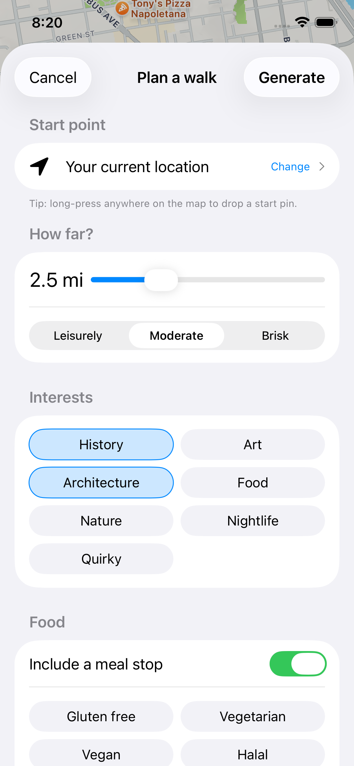
This route runs from the Davenport Hotel through the old financial and warehouse districts, across Riverfront Park and the falls that gave the city its reason for existing, and ends with a meal in a converted 1895 flour mill. It's flat, compact, and easy to do in a morning or late afternoon. The Mosey app plots the stops in order and pulls up the historical detail at each one, so you're not standing on a corner squinting at a plaque trying to figure out why it matters.
Plan on roughly two and a half hours if you read the context at each stop and poke into a shop or two. Spokane's grid downtown is easy to navigate on foot, parking is cheap by West Coast standards, and the whole route stays within a few blocks of Riverside and Main.
The Route: Davenport to the Flour Mill
"Louis Davenport opened this hotel in 1914 after running a wildly popular restaurant on the same block for two decades, and he hired architect Kirtland Cutter to design it in a Renaissance Revival style with an Italian courtyard-style lobby, a Hall of Doges banquet room, and one of the first hotel-based air conditioning systems in the country. It closed in 1985 and sat empty for 15 years before a $38 million restoration reopened it in 2002. Cutter also designed Spokane's Davenport-era Chronicle Building and several mansions on the South Hill."
Walk into the lobby even if you're not staying here — it's free and open to the public, and the fountain, ironwork, and coffered ceiling are worth five minutes on their own. The Peacock Room off the lobby is a good spot to sit if you want a coffee before starting the walk.
"This stretch of Riverside and the surrounding blocks was Spokane's financial and retail core after the 1889 fire that leveled 32 blocks of the young city, and the ordinance passed afterward required masonry and stone construction downtown, which is why so much of what you're walking past is brick and terra cotta rather than wood. The Fernwell Building, the Spokane Club, and the old Great Western Building all date from this rebuilding wave in the 1890s and early 1900s. Much of the district is listed on the National Register of Historic Places as the Riverside Avenue Historic District."
Look up — the ground floors have mostly been modernized with newer storefronts, but the upper facades keep their original cornices and window detailing. This is a slow block, not a stop with a single door to walk through, so just work your way along Riverside reading the building fronts.
"The current city hall at 808 W Spokane Falls Blvd opened in 1981, built inside the shell of a former Nordstrom department store as part of the city's urban renewal push tied to Expo '74. Before this, Spokane's city hall was a more ornate 1892 building demolished decades earlier, one of several losses from that period of redevelopment. The building's blocky concrete form is a clear contrast to the ornamented stone architecture a block away on Riverside."
This stop is mostly useful as a contrast point in the walk — it's not a building to linger at, but standing here makes the difference between 1900s Spokane and 1970s Spokane obvious in a way photos don't capture.
"This land was rail yards and warehouses serving the Great Northern, Northern Pacific, and Union Pacific railroads until the city cleared them out to host the 1974 World's Fair, Expo '74, whose theme was environmental restoration — an unusually early message for a world's fair. The Clock Tower, built in 1902, is the surviving piece of the old Great Northern train depot that once stood on this site. The falls themselves are the reason Spokane exists at all: Native peoples, including the Spokane Tribe, fished this stretch of the river for salmon for thousands of years before railroads and flour mills arrived to harness the drop in elevation for power."
Walk out onto the Post Street Bridge or the pedestrian bridge near the Clock Tower for the best view down into the falls, especially with higher water in spring. The Numerica SkyRide gondola runs seasonally for a paid view of the gorge if you want it, but the free bridge views are honestly comparable most of the year.
"Washington Water Power, the predecessor to Avista, built its Post Street Substation here to harness the falls directly for hydroelectric power starting in 1890, making it one of the earliest hydroelectric operations in the Pacific Northwest. The company's headquarters building nearby, built in stages starting in 1911, anchored one of Spokane's most profitable early industries. Avista still operates a hydroelectric facility on this stretch of the river today."
You can see the old powerhouse structure from the park side of the river; it's not open for public tours, but the exterior and the sound of the water dropping past it tell you plenty about why this exact spot mattered.
"This 1916 steam plant supplied backup power and heat to downtown Spokane for decades, with its distinctive twin smokestacks still standing at 159 South Lincoln Street. It closed in the 1980s and sat dormant until a renovation converted it into a restaurant and retail building, opening in 2001 while keeping the boilers, catwalks, and smokestacks as visible design elements rather than stripping them out."
Worth ducking into even if you're not eating here — the interior keeps huge sections of the original boiler machinery in place, and it's free to walk through and look. The lower level has some retail and a distillery tasting room if you want to extend the stop.
"Built in 1895 as the Spokane Flour Milling Company mill, this Tudor Revival brick building processed wheat from the Palouse region using the Spokane River's power before closing as a working mill in 1969. Rather than demolish it, developers converted the building into a multi-level retail and dining space in the 1970s, keeping the exposed brick, heavy timber beams, and original window bays intact. It sits right along the river at 621 W Mallon Ave, just north of Riverfront Park."
Clinkerdagger, the sit-down restaurant on the upper floor, has river and falls views and has been serving steak and seafood here since the mill's 1970s conversion — reservations help on summer evenings. For something faster and cheaper, the ground floor has coffee and casual food options if you'd rather sit outside near the water.
Planning Your Walk
Best time to walk: Spokane summers run hot and dry; August afternoons regularly hit the high 80s, so mornings or after 5pm are more comfortable for the outdoor stretch through Riverfront Park. Winters are cold with real snow and ice, so if you're walking this route outside summer, budget extra time and wear boots with grip.
Shoes: Entirely flat pavement and paved park paths — regular walking shoes are fine, nothing technical about this route.
The narration: At each stop, Mosey surfaces the building's construction date, architect, and the specific event or industry that put it there, rather than general blurbs about downtown Spokane.
Walk This Route with Mosey
Open the Mosey app to follow this exact route with turn-by-turn stops and the full historical narration read out at each location.
Download on the App Store — FreeFrequently asked questions
How long does it take to walk downtown Spokane?
Plan on about two to two and a half hours for a two-mile route covering the main historic and architectural stops, including time inside buildings like the Davenport lobby and the Steam Plant. Add 30 minutes if you're stopping to eat at the Flour Mill or lingering at the falls in Riverfront Park.
Is downtown Spokane walkable?
Yes, downtown Spokane is compact and flat, built on a straightforward grid with most major sights within a few blocks of Riverside Avenue and Riverfront Park. Sidewalks are wide and well-maintained, and the whole core can be crossed on foot in under 20 minutes without the walk feeling like a slog.
What is the best time of day to walk through Riverfront Park?
Early morning or after 5pm works best in summer, since August afternoons in Spokane often hit the high 80s with little shade along the riverbank paths. Morning light also makes photographing Spokane Falls from the Post Street Bridge easier, before crowds build up near the Clock Tower and gondola area.
Is the Davenport Hotel open to the public?
Yes, the lobby and public spaces of the Historic Davenport Hotel at 10 W Sprague Ave are open to anyone, free of charge, even if you're not a guest. The Peacock Room and lobby courtyard are the main spaces worth seeing, both open during normal hotel hours.
What should I skip on a short visit to downtown Spokane?
Skip the Numerica SkyRide gondola if you're on a budget or short on time — it's a paid ticket for a view of the falls that's nearly as good, and free, from the Post Street Bridge or the pedestrian bridge near the Clock Tower. City Hall is worth a glance, not a detour.
Where should I eat on a walking tour of downtown Spokane?
The Flour Mill at 621 W Mallon Ave is the natural end point, a converted 1895 flour mill with Clinkerdagger restaurant upstairs for a sit-down meal with falls views, and quicker coffee and food options on the ground floor. It sits directly on the walking route near Riverfront Park.
More Spokane Neighborhoods to Explore
Spokane rewards walking beyond downtown, too. The South Hill has Kirtland Cutter mansions and quiet streets worth a slower, residential-architecture route, while the Garland District further north keeps its 1940s neon and single-screen movie theater intact. Browntown Spokane and Mosey both have routes for these areas if you want to keep exploring after the river and falls.