Downtown Salt Lake City reads like a layered argument about who gets to shape a city. The 1847 Mormon grid still runs the show — streets are absurdly wide because Brigham Young wanted room for a wagon and a team of oxen to turn around — but the buildings on top of that grid tell a second story: mining money, railroad money, and a state government trying to look permanent. Temple Square sits at the center of it, literally the point from which every address in the valley is measured, and the streets radiate outward with numbered names that make navigation almost insultingly easy.
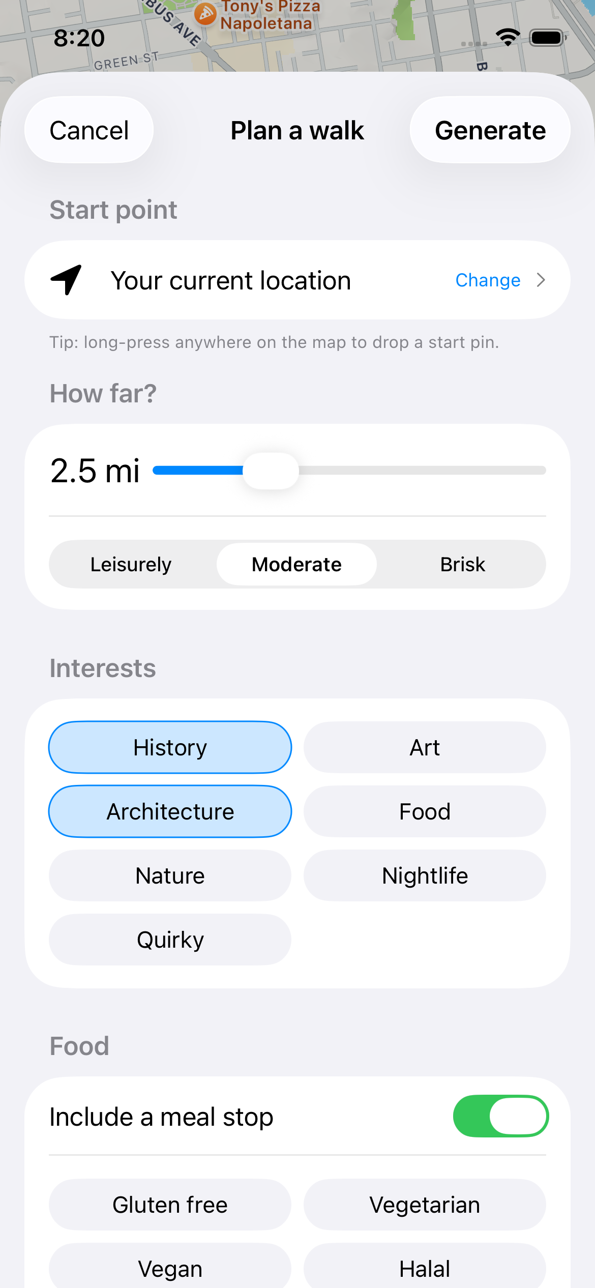
This route starts at Temple Square, moves through the church's historic residential compound, cuts east to the state Capitol grounds for the elevation and the view, then drops back down into the old banking and mining district on Main Street and Exchange Place. It's a walk that mixes religious history with hard commercial history — silver barons, non-Mormon merchants who built their own commercial district out of spite and ambition, and a Capitol dome that was paid for partly by copper. The Mosey app has this route mapped stop to stop, so you're not stopping to check a map every two blocks.
Give yourself the better part of a morning or afternoon. Temple Square alone can eat 45 minutes if you linger, and the Capitol grounds are worth a slow walk in decent weather. None of the stops require much beyond comfortable shoes and, if you want to go inside the Tabernacle or Assembly Hall, a bit of patience for security screening.
The Route: Temple Square to Exchange Place
"Construction on the Salt Lake Temple began in 1853 and took 40 years, finishing in 1893, built from quartz monzonite quarried in Little Cottonwood Canyon and hauled roughly 20 miles by ox team and later rail. Architect Truman O. Angell designed the six-spire structure, and the golden Angel Moroni statue atop the highest spire was added at the 1892 capstone ceremony. The temple closed in 2019 for a major seismic renovation project and remains closed to the public, including non-Mormon visitors who were never allowed inside to begin with."
You can't go inside, and as of 2026 it's still wrapped in ongoing renovation work, so check current scaffolding status before expecting an unobstructed photo. Walk the perimeter of the 10-acre square instead — the surrounding gardens and the reflecting pool views are free and usually uncrowded before 10am.
"Completed in 1867, the Tabernacle's turtle-shaped roof spans 150 feet with no interior support columns, an engineering approach designed by bridge-builder Henry Grow using a lattice truss system more common in covered bridges than auditoriums. The building was constructed using wooden pegs and rawhide strips instead of nails, since iron nails were scarce and expensive in the isolated Utah territory. It's home to the Tabernacle Choir, formally renamed in 2018 from the Mormon Tabernacle Choir, and the building's acoustics have been demonstrated for over a century by dropping a pin at the pulpit, audible from the back row."
Free organ recitals happen most weekdays at noon and the acoustics demonstration is worth timing your visit around if it's running. Check the visitor schedule since rehearsals occasionally close the building to tourists.
"Built in 1854 as Brigham Young's official residence, the Beehive House gets its name from the wooden beehive sculpture atop the cupola, a Mormon symbol of industry that also appears on the Utah state seal and flag. Young lived here with several of his wives until his death in 1877, and the house later served as the residence for his successors as church president until 1918. The Greek Revival design, attributed to architect Truman O. Angell, was restored in the 1960s to reflect its 1850s-to-1870s appearance."
Free guided tours run on the half-hour most days and take about 25 minutes; they cover the ground floor and a few upstairs rooms. It's a light, quick stop compared to the Temple grounds, worth doing if you're curious about domestic life in early Mormon Salt Lake rather than church doctrine.
"Completed in 1916, the Utah State Capitol was designed by architect Richard K.A. Kletting and cost about $2.7 million, funded in significant part by a federal inheritance tax windfall paid by the estate of copper baron Daniel Jackling. The building sits on Capitol Hill overlooking the valley and follows a Corinthian-columned, Renaissance Revival design topped by a copper dome. A major seismic retrofit completed in 2008 placed the entire building on 265 base isolators designed to let it shift up to two feet during an earthquake."
Entry is free and the rotunda, with its murals depicting Utah history, is open to walk through during business hours on weekdays. The front steps give you the best skyline-and-mountains view on this whole route, and it's a good spot to catch your breath before heading back downhill.
"Council Hall was built in 1866 at 100 South Main Street as Salt Lake City's original city hall and territorial legislative building. When the building was threatened by downtown development in 1961, it was disassembled stone by stone and rebuilt on its current site near the Capitol, a relocation that preserved the structure but permanently changed its context within the street grid. It now houses the Utah Office of Tourism's visitor information center."
Worth a five-minute look at the exterior stonework on your way down from the Capitol; it's not a long stop. Duck inside if you want a free map or want to ask locals about current downtown events.
"Exchange Place, centered around Exchange Place and 300 South Main Street, developed in the early 1900s as a commercial district built deliberately by non-Mormon business interests, mining investors and bankers who wanted a financial center independent of church-affiliated institutions on Main Street to the north. The Boston Building (1897) and Newhouse Building (1908), both financed by mining magnate Samuel Newhouse, anchor the district and were among the tallest structures in the Intermountain West at the time. The area's design deliberately echoed Chicago's commercial architecture, with Newhouse hiring out-of-state architects to signal a break from Mormon-dominated Main Street."
The buildings are mostly offices and residential lofts now, so you're looking at facades rather than going inside. Walk slowly along Exchange Place itself, a short pedestrian block, to see the terra cotta and stone detail up close without much traffic noise.
"The original Eagle Gate was built in 1859 spanning State Street at the entrance to Brigham Young's property, topped with a wooden eagle carved by Ralph Ramsey with a wingspan of about 20 feet. The current bronze eagle version, cast in 1963, replaced earlier iterations that had been widened over the decades to accommodate growing traffic on State Street. It marks what was once the boundary of Young's personal estate, a useful landmark for understanding how much downtown land was originally tied to one family."
This is a quick photo stop, not a lingering one — you're looking up at an arch over an active road. Best light is in the late afternoon when the sun isn't directly behind it.
"Red Iguana opened in 1985 on West North Temple, started by the Cardenas family and now known well beyond Utah for its moles, seven varieties served daily, a rarity for a restaurant of any size. The original location has been expanded multiple times to handle demand, and a second location, Red Iguana 2, opened nearby in 2010 to help with the persistent lines at lunch and dinner."
Expect a wait at peak hours, especially weekend evenings; arriving right at opening or mid-afternoon avoids the worst of it. Order the mole sampler if you've never been, and don't skip the chips and salsa bar, which rotates several house-made salsas.
Planning Your Walk
Best time to walk: August in Salt Lake City runs hot and dry, often 90–95°F by early afternoon with almost no humidity, so mornings before 10am are far more comfortable for the Capitol hill climb. The sun is intense at this elevation (4,300 feet) even without visible heat haze, so sunscreen and a hat matter more than they would elsewhere.
Shoes: The route is entirely paved sidewalk and plaza, but the stretch up to the Capitol involves a real, sustained uphill grade — comfortable walking shoes over sandals.
The narration: Mosey surfaces the specific dates, architects, and material details behind each building as you approach it, rather than a general history of the city.
Walk This Route With Mosey
Open the Mosey app to get turn-by-turn guidance and stop-by-stop history for this exact route, so you can look up and actually see the buildings instead of your phone.
Download on the App Store — FreeFrequently asked questions
How long does it take to walk Downtown Salt Lake City's historic sites?
Plan on about 2.5 hours for the full route covering Temple Square, the Capitol, and Exchange Place, not counting a meal stop. The Capitol Hill climb adds time since it's a genuine uphill walk. Add 30–45 minutes if you want a guided Temple Square tour or a full Beehive House tour.
Is Downtown Salt Lake City walkable?
Yes. The 1847 Mormon grid uses wide, numbered streets that make navigation simple, and most major sites sit within a 2.2-mile loop. The one real challenge is the elevation gain walking up to the Utah State Capitol, which sits noticeably higher than Temple Square and Main Street.
Can you go inside the Salt Lake Temple?
No. The Salt Lake Temple has never been open to the general public, including non-Mormon visitors, and it's currently closed even to church members for a multi-year seismic renovation that began in 2019. You can walk the surrounding Temple Square grounds and gardens for free.
What's the best time of day to walk Temple Square and Downtown Salt Lake City?
Morning, especially before 10am in summer, when temperatures are cooler and Temple Square is less crowded with tour groups. The Utah State Capitol steps also offer better light and clearer valley views earlier in the day before summer haze builds up.
Is Downtown Salt Lake City safe to walk?
Yes, the core route around Temple Square, South Temple, and the Capitol is well-trafficked and safe during daytime hours. Some blocks south of Temple Square toward Rio Grande have a more visible homeless population; it's not on this specific route but worth knowing if you wander off it.
Do I need to pay to visit Temple Square or the Utah State Capitol?
No, both are free. Temple Square grounds, the Tabernacle, Beehive House tours, and the Utah State Capitol rotunda all have no admission fee. The only costs on this route are optional, like a meal at Red Iguana or souvenirs from the Capitol gift shop.
More Salt Lake City Neighborhoods to Explore
Salt Lake City rewards walking beyond downtown, too. The Marmalade District, on the hillside just west of Capitol Hill, is worth a Mosey route of its own for its narrow streets of pioneer-era cottages named after fruit trees. Sugar House, a few miles southeast, has its own commercial history tied to an old sugar beet processing plant and a completely different architectural texture from downtown's mining-era buildings. Both pair well with a downtown walk if you're spending a full weekend in the city.