Midtown Sacramento is the Grid's most-lived-in square mile, laid out by surveyor Gilbert F. Byrne back in 1849 as a rigid checkerboard of streets and alphabet-numbered avenues. That grid still runs the show: it's why every block here feels walkable, why the alleys between the main streets hide their own bars and studios, and why you can cover a lot of ground in California heat without ever losing your bearings. What's changed since the Gold Rush is what fills the blocks — Victorian cottages sitting next to converted warehouses, taquerias next to third-wave coffee shops, and more public murals per capita than almost anywhere else in the Central Valley.
This route runs roughly from the Sutter's Fort area near 27th and L streets down toward the restaurant corridor on 20th and 21st, threading through some of Midtown's best-documented mural walls and a couple of buildings that tell you something real about how this neighborhood grew. Mosey mapped the stops so you're not backtracking or guessing which alley has the good stuff — it surfaces the history at each point so you're not standing in front of a wall wondering who painted it or why.
Plan on a couple of hours if you want to actually look at things instead of just walking past them. The route ends at a meal stop, which is intentional — Midtown eats well, and you'll want the excuse to sit down by then.
The Route: Fort to Murals to Dinner
"John Sutter built this adobe outpost in 1839 as the center of his Nueva Helvetia land grant, and it became the first non-Native settlement in the Sacramento Valley. The fort's central building is the only fully original structure left; the surrounding walls and bastions were reconstructed in the 1890s based on the original layout. It served as a way station for overland immigrants and, briefly, as a supply point during the Gold Rush after gold was found at Sutter's sawmill in Coloma in 1848."
Entry is $5 for adults, and the museum inside is small but worth the twenty minutes if you've never been. If you're short on time, you can see the exterior adobe walls and central building from the sidewalk on L Street for free.
"This full city block bounded by 15th, 16th, O, and P streets has been public park space since 1855, making it one of Sacramento's oldest platted parks. It's named for John C. Fremont, the explorer and later presidential candidate who passed through California during the Bear Flag Revolt era. The park has been renovated multiple times over the decades but has kept its original footprint from the city's founding grid."
It's a good five-minute breather rather than a destination — there's usually shade under the mature trees on the north side, and it's a reasonable spot to check your route before continuing toward the mural stretch.
"Wide Open Walls started as a mural festival in 2016, organized by David Sobon and Shaun Burner, bringing international street artists to paint large-scale walls across Sacramento. Midtown ended up with one of the densest concentrations, particularly along 16th Street and its cross alleys, with pieces by artists like Sofles and DALeast among dozens of others painted between 2016 and the early 2020s. The festival's stated goal was to reposition Sacramento as a serious mural city rather than a stopover between San Francisco and Tahoe."
Walk both sides of 16th between P and R streets and check the parking lot walls, not just the street-facing ones — some of the best work is tucked into alleys. Murals rotate occasionally, so don't be surprised if something you've read about online is gone.
"This stretch of Midtown was largely built out with single-family Victorians and Craftsman cottages between the 1870s and 1910s, before the neighborhood's mid-20th-century dip into disinvestment and its slower comeback starting in the 1990s. Many of these houses have been converted into small offices, galleries, and studio spaces while keeping their original wood siding and porch details intact. It's a useful stretch for seeing residential Midtown architecture without detouring into the quieter side streets further east."
No formal stop here, just slow your pace. Look for the raised foundations on some of the older cottages — a holdover from Sacramento's repeated 19th-century flooding before the levee system was built up.
"Beatnik Studios occupies a converted industrial building and has operated as a working artist studio and event space in Midtown since the mid-2000s. The building's brick shell and warehouse windows are original to its earlier commercial use, typical of the light-industrial stock that once lined the rail-adjacent blocks south of the core grid. It's part of a broader pattern in Midtown where old warehouse and machine-shop buildings got repurposed for studios and galleries starting in the 1990s rather than being torn down."
Check their event calendar before you go — it's not always open to walk-in visitors, but when there's a show or open studio event, it's worth timing your walk around it.
"The stretch of 20th Street through Midtown has picked up additional murals in the years since Wide Open Walls, some commissioned by individual business owners and some part of later city-supported public art pushes. This corridor also marks the rough edge between Midtown's arts district identity and its restaurant row, with galleries and studios giving way to the density of bars and kitchens that define 20th and 21st streets after dark."
Good spot to slow down before your meal stop. If a mural catches your eye, look for a small tag or plaque with the artist's name — not every piece has one, but many of the commissioned works do.
"Tamale Loco is a Midtown restaurant built around scratch-made tamales, a food with roots in Mesoamerica going back thousands of years and a strong home-cooking tradition among Sacramento's Mexican and Central American communities. The restaurant makes its masa and fillings in-house, a labor-intensive process that most tamale vendors elsewhere have shortcut with commercial masa. It's grown a local following as one of the few Sacramento restaurants built specifically around tamales as the main event rather than a side dish."
Get there before 7pm on weekends or expect a wait — it's a small space. Order a sampler if you can't decide, and don't skip the horchata.
Planning Notes for Walking Midtown
Best time to walk: Sacramento summers run hot and dry — August afternoons regularly hit the mid-90s. Start this walk in the morning or save it for early evening; there's not much shade on some of the wider avenues.
Shoes: Flat sidewalks and paved alleys the whole way. Regular walking shoes or sandals are fine; nothing here requires hiking footwear.
The narration: At each stop, Mosey surfaces the documented backstory — building dates, mural artists, and the specific events that shaped the block — rather than generic historical color.
Build Your Own Midtown Route
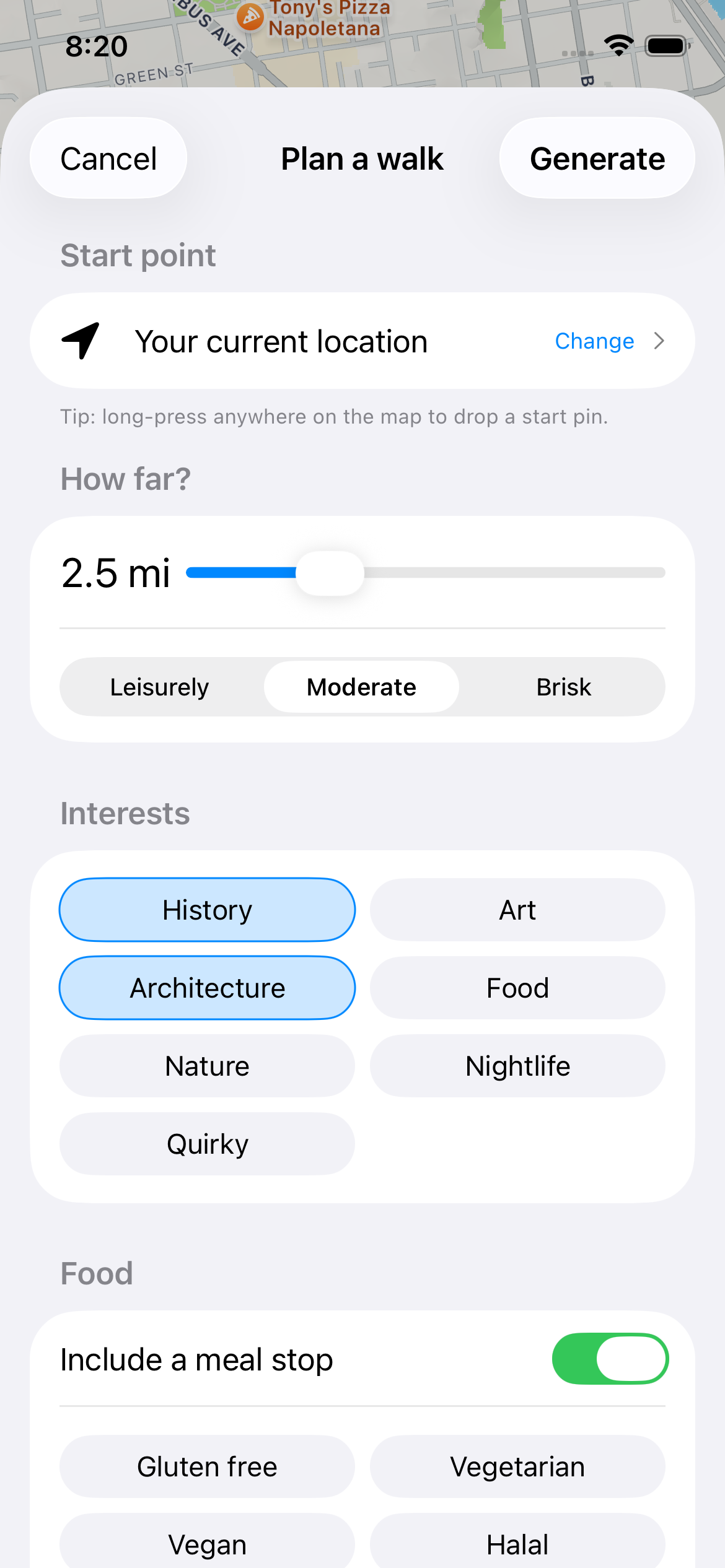
Open Mosey to customize this walk, add stops, or start from wherever you're already parked in Midtown.
Download on the App Store — FreeFrequently asked questions
How long does it take to walk Midtown Sacramento?
This route covers roughly 2 miles and takes about 2 to 2.5 hours at a relaxed pace with stops. Add extra time if you're stopping into galleries during open hours or lingering over murals on 16th and 20th streets — the neighborhood rewards a slow pace more than a fast one.
Is Midtown Sacramento walkable?
Yes. Midtown sits on Sacramento's original 1849 grid, with flat, rectangular blocks and sidewalks throughout. It's one of the most walkable neighborhoods in the city, with restaurants, bars, and galleries close enough together that most visitors don't need a car once they've parked.
Where are the best murals in Midtown Sacramento?
The densest concentration is along 16th Street between P and R streets, a legacy of the 2016 Wide Open Walls mural festival organized by David Sobon and Shaun Burner. Check alleys and parking lot walls, not just street frontages, and also look along 20th Street for newer commissioned pieces.
What is the best time of day to walk Midtown Sacramento?
Morning or early evening, especially in summer. Sacramento regularly hits the mid-90s in August afternoons, and Midtown's wide avenues have limited shade. Evenings also let you combine the walk with dinner, since the neighborhood's restaurant corridor around 20th and 21st streets gets going after 6pm.
Is Sutter's Fort worth visiting on a Midtown walking tour?
Yes, if you have twenty minutes and $5. It's the oldest non-Native structure in the Sacramento Valley, built by John Sutter in 1839, with a small museum inside the reconstructed walls. If you're pressed for time, the adobe exterior is visible free from L Street.
What should I eat in Midtown Sacramento after walking?
Tamale Loco at 1801 L Street is a solid choice, built specifically around scratch-made tamales rather than treating them as a side dish. It's a small space, so arrive before 7pm on weekends to avoid a wait. Midtown's broader restaurant strip runs along 20th and 21st streets.
More Sacramento Neighborhoods to Walk
If Midtown's grid and murals worked for you, Sacramento's Old Sacramento district — the riverfront blocks of wooden boardwalks and Gold Rush-era brick buildings near the railroad museum — makes a good contrast walk with Mosey, trading contemporary street art for preserved 1850s commercial architecture. East Sacramento and the Fabulous Forties, just across Highway 50, offer a quieter route through early-20th-century residential streets if you want to see where Midtown's Victorian pattern gave way to later suburban planning.